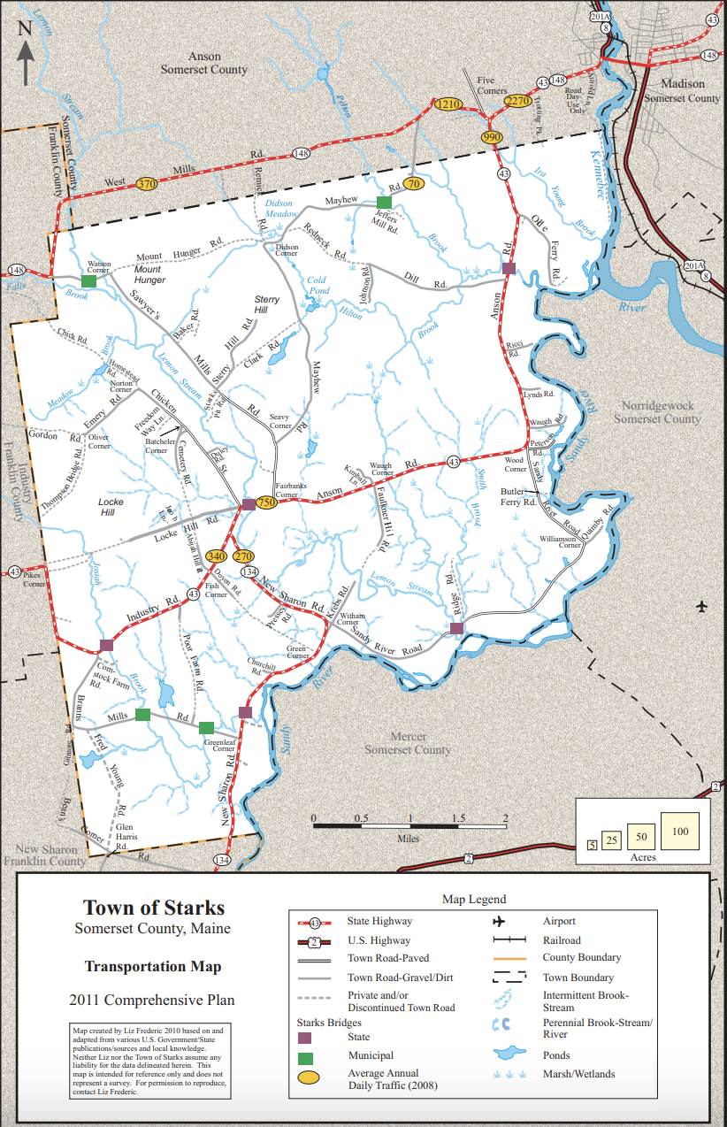
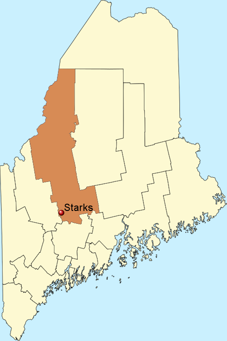
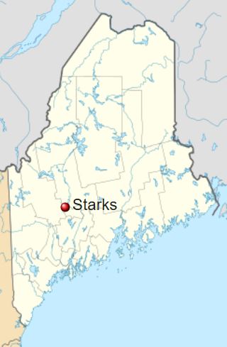
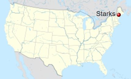
Geography | |
|---|---|
County: Somerset | ZIP Code: 04911 |
State: Maine | Area Code: 207 |
Country: United States of America | Coordinates of Community Center: 44°43′42″North 69°56′26″West |
Planet: Earth | Elevation: 341 Feet |
Time Zone Standard: UTC-5 Eastern Standard Time | Time Zone Daylight: UTC-4 Eastern Daylight Time |
Area | Weather Averages |
|---|---|
Total: 32.13 Square Miles | Temperature: Low 7° January / High 78° July |
Land: 31.59 Square Miles | Precipitation: Rain - 45 Inches / Snow - 81 Inches |
Water: 0.54 Square Miles | Number of Days: Above 90° - 3 / Below 0° - 28 |
Bodies of Water | |
|---|---|
Rivers: Sandy, Kennebec | Ponds: Cold |
Streams: Lemon | Bogs: Mayhew |
Brooks: Duley, Falls, Hilton, Josiah, Meadow, Pelton |
Government and Organization | |
|---|---|
Date of Incorporation: | February 28, 1795 |
Type of Government: | Town Meeting |
Legislative Branch: | Town Resident Voters |
Executive Branch: | 3 Member Board of Selectmen |
Fiscal Year: | Calendar year |
Population 2020 Census Data | |
|---|---|
Total: | 593 |
Density: | 19 Per Square Mile |
Historical Population Data | ||
|---|---|---|
Census Year | Population | Percent Change |
2020 | 593 | −7.3% |
2010 | 640 | 10.70% |
2000 | 578 | 13.80% |
1990 | 508 | 15.50% |
1980 | 440 | 36.20% |
1970 | 323 | 5.60% |
1960 | 306 | −27.3% |
1950 | 421 | −1.2% |
1940 | 426 | −10.1% |
1930 | 474 | −10.2% |
1920 | 528 | −3.8% |
1910 | 549 | −13.7% |
1900 | 636 | −17.0% |
1890 | 766 | −17.5% |
1880 | 929 | −14.2% |
1870 | 1,083 | −19.2% |
1860 | 1,340 | −7.3% |
1850 | 1,446 | −7.2% |
1840 | 1,559 | 6.00% |
1830 | 1,471 | 39.70% |
1820 | 1,053 | 27.20% |
1810 | 828 | 64.90% |
1800 | 502 | 0 |